For as long as I can remember I was always fascinated with the Camino de Santiago – what I thought was a singular, ancient pilgrim way from somewhere in northern Spain to Santiago.
In 2017 I decided to do a bit more research and, as a result of my investigations, I discovered that it was not one Camino, but a vast network of interlinked paths all ultimately reaching Galicia in northwest Spain.
I also became aware of the project to create (or recreate) the St James’ Way (Camino Ingles). I then walked the 800km Camino Frances from the French Pyrenees across northern Spain to Santiago in the summer of 2019.
Back in the heady days of the mighty Reading Abbey, the cult of St James and the associated pilgrimages began in the town. The story goes that in the 1100s a relic – the hand of the apostle St James – was brought from Santiago to England and donated to the Abbey at Reading.
During the dissolution and destruction of the abbey, said hand was buried within the walls of the abbey and remained undiscovered until 1786 when it was unearthed by workers. It has then been bought and sold, and moved around the Thames Valley, and currently can be found in St Peter’s Catholic Church in Marlow.
Anyway, the presence of this relic brought many pilgrims to the town to view it and start their pilgrimage from the Abbey, travelling south via Winchester to the channel ports to gain passage on a boat to northern Spain.
The St James’ Way is now a fully waymarked footpath from Reading to Southampton – however as this is mostly on footpaths, cycling ‘the Way’ was not possible.
So, I decided to create a pair of routes for cyclists to be able to follow as closely as possible: one only using quiet roads, the other using a mix of quiet lanes and some nice ‘off-road’ cycling.
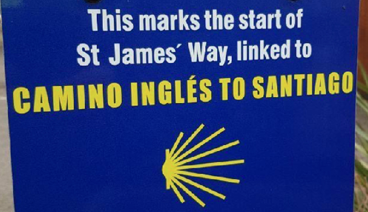
Both routes are now available as digital files for transfer to navigation devices. The actual start point of The St James’ Way is St James’ Church, which sits alongside the Abbey Ruins, Forbury Gardens and Reading Prison (read Reading pilgrimage route starting marker unveiled: https://www.bbc.co.uk/news/articles/cn0g0x302pro.amp ).
On-Road Route
From Reading town centre, the asphalt only version leaves town via Elgar Road and Waterloo Meadows NCN4 to Rose Kiln Lane.
Then along to Green Park before heading over the railway bridge and along Kirtons Farm Road to the Burghfield Road.
From here you ride along Deans Copse Road to Sheffield Bottom and then head south away from the Kennet towards Burghfield Common.
Find out more by visiting https://ridewithgps.com/routes/52157826
Route details: 118.8km; 46m ascent; 100% on paved surfaces.
Off-Road Route
From Reading town centre, the ‘off-road’ route also travels along the Kennet following NCN4 through
Waterloo Meadows, but remains on the canal-side path past Fobney Works and Meadows to the Cunning Man.
Here there is a choice to follow the towpath to Theale or (and a much less muddy option in winter) remain on NCN4 around the gravel pits before ducking under the M4 to Theale Sunnyside.
The route then takes some quiet lanes via Sulhamstead Abbotts to Burghfield Common.
Find out more by visiting https://ridewithgps.com/routes/52157672
Route details: 119.4km; 984 m ascent; 67% on paved surfaces; 33% on unpaved surfaces; mixture of quiet lanes, byways, bridleways and restricted byways.
Mark Lyford
Walk Wheel Cycle Trust (formerly Sustrans)
I saw an article about the unveiling of the start point marker on BBC’s South Today programme a few weeks ago, and, I have to say, I find the marker completely unsatisfactory in that the “scallop shell” emblem clearly indicates one direction of travel (as the BBC web page states, the routes “all lead to the shrine of St James in the cathedral of Santiago de Compostela in Galicia”) whereas the arrow indicates the opposite direction!
Was it really beyond the wit of the marker designers/manufacturers to have the emblem point in the correct direction!
Anyway, good to know there are now cycle routes for the English part of the route.
I’m no expert, but I have seen a map which suggests that the Camino goes eastwards as far as St James’ RC Church, then south through the Abbey ruins, and then westwards along the Kennet. If that’s correct, the sign would be accurate but surprising.